When you click on links to various merchants on this site and make a purchase, this can result in this site earning a commission. Affiliate programs and affiliations include, but are not limited to, the eBay Partner Network.
I used the PDR on my 2016 Z51 on the track at an HPDE, with Track Mode overlay. As expected, the system collected lots of data, including audio, video, speed, g-force, etc.
BUT, the data when viewed in Cosworth tool box shows one 25 minute lap, even though there were over a dozen laps. The display does not show the GPS map overlay. (Another section of the software shows the actual track in a satellite view, but still thinks the data is one very long lap.)
The manual says that I need to put my front bumper at the start line, then define Start line, but that isn't practical at an HPDE event. The track is only used when "hot", the only time I crossed the Start/Finish line was at over 100 MPH.
Is there a way to define the Start/Finish line after a run? Is there a way to do this in the Cosworth toolbox software?
Nope. You have to mark the start/stop at the track with the PDR itself.
But you don't have to stop. The first time at a track I just hit the mark button on my first warmup lap as I pass the spot I want the laps to start/end. It saves it on the SD card, so as long as you use the same SD card on the same track, it will remember.
At VIR I hit the S/F button in pit lane as I went by the S/F line. The system picks it up every lap now and gives me a lap by lap display with the track map included.
There is a side limitation on how far off the racing line you are when you attempt to mark S/F. At Spring Mountain I could set it in the pit lane. At Thunderhill and Laguna Seca I had to set it at pit out or on my first flying lap. I'll guess it's good for 30' or so.
Remember, a lap is a lap so setting it anywhere on the track will record your time and the overlay.
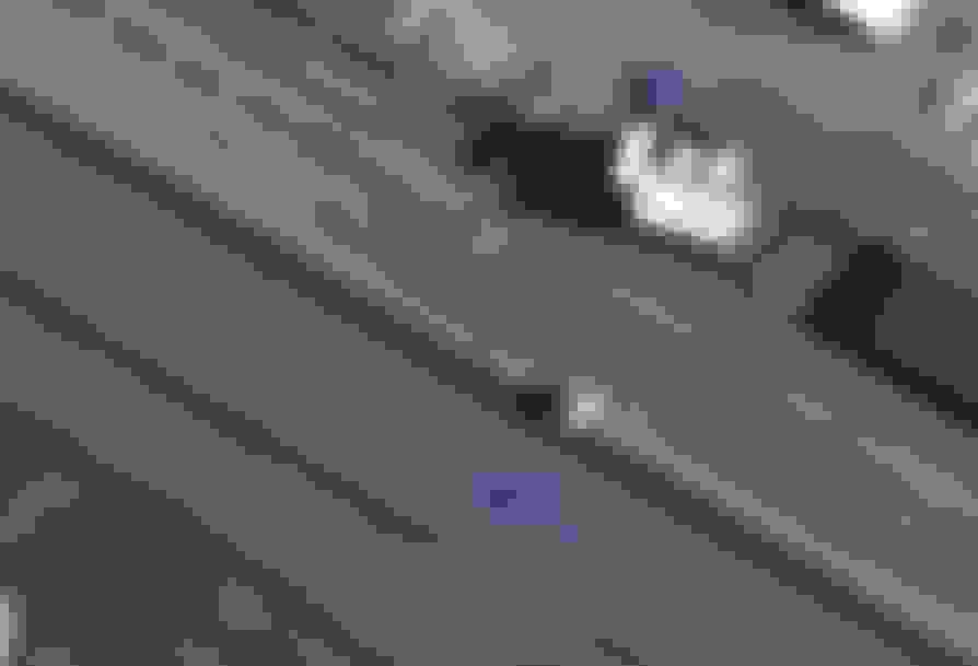
Thanks for the advice, I tested it out the last 2 days. Yesterday I selected pit-out as the Finish Line location. See the attached photo. In the red circle, I hit "Define Finish Line". It was still too far from the track (see blue arrow) to set the finish line. Note, on this track, I usually was far left when crossing the finish line.
So today I waited until I crossed the finish line on my first lap, I hit "Define Finish Line" at that moment. The PDR then added in the GPS and the lap data. And as Jay mentioned above, on my next session I just started recording and it automatically picked up the start/finish line.
Red circle is pit out, red arrow is the direction on pit road, blue arrow is actual track.
I wish I could find some software for accessing the private data stream in the MP4 file that Cosworth uses to store the data. Perhaps then we'd be able to find a way to edit the start/finish. Even better would be a way to extract the data in a way that would allow you to import in to some better analytic tools like Aim Race Studio.
I wish I could find some software for accessing the private data stream in the MP4 file that Cosworth uses to store the data. Perhaps then we'd be able to find a way to edit the start/finish. Even better would be a way to extract the data in a way that would allow you to import in to some better analytic tools like Aim Race Studio.
I just took a look at an SD card data of a lap I took around my housing area back in March when I got the car - it's the only lap I have because the only track event I've run with the car at VIR I thought I pushed the screen to set the finish line, but it didn't take.
The lap I did in my residential area was at 30 mph or so, and it took slightly longer than 3 minutes. Below is data from a document on the SD card titled ".map.gpx".
After setting the finish line you need to do a lap before the PDR starts to display the track map and lap time.
When you cross the finish line the data starts to record every 2/10ths of a second. You can see below the first 5 seconds of the data stream. The first few lines have the info about the creator (Marlin Track Mapper) and there are several URL's for websites.
After all that intro stuff, it finally starts recording data at the point I put in boldface - the data in boldface is the first point (the finish line) of the track map. You can see it logs the latitude/longitude, the elevation (I believe that's meters, because my housing area in Daytona Beach is about 20 feet above sea level), the date and time (Zulu time), the course the car is travelling (to 1/100th of a degree), and the name of that point (point 1 for that first point in boldface).
You can see that it logs those exact same bits of data every 2/10ths of a second, and you can see below that I just copied the data of the first 5 seconds of the lap. You can see that it logs those bits of data 5 times per second, so the name of the last point below after 5 seconds is "point 25".
Bottom line
You can see below that only 5 seconds of data is quite a lot!!! A 20 or 30 minute HPDE session would be MANY PAGES long!!!
There is MUCH MORE that is needed to generate a track map and lap times than just the S/F line!!! I don't think there's any easy way to edit the S/F line after the fact.
Whether all that data in the format below is compatible with Aim Race Studio, or any other data acquisition software - I doubt it!!
Here's the first 5 seconds of data from a PDR lap:
Cool. What did you use to extract the data from the MP4? There has to be another data stream as well with all the vehicle systems data.
The question is how the fact that it's a new lap is recorded in the data. Are the point numbers just reset? If so, you might be able to automate editing the XML.
As far as importing it in the RS2, clearly that wouldn't work without some serious transform but extracting the data and understanding it is the first step.
Hard to believe they chose XML for data that emits a value 5x a second. That's some serious text overhead.
The only reason it needs the start/finish line at the time of recording is because it overlays the info on the video. The raw data in the stream shouldn't care where the start/finish line is (even if some times are relative, they can be recalculated).
Cool. What did you use to extract the data from the MP4?...
When I opened the SD card to see what was on it, there was one ".map.gpx" icon, one with a .mp4 video, and one .png file with a small thumbnail picture.
That finish line info and all that other map data was in that separate file labeled ".map.gpx". When I double-clicked on its icon the file opened in notebook, and it's just completely a text file - there's no data about performance, speed, gear, etc., or engine parameters at all in that file.
I guess all the other stuff must be embedded in the .mp4 video file, and I don't have any idea how to open that to see any of that data.
Hope you don't mind me jumping in here. Has anyone hooked up an AIM Solo DL via OBD2? I'm wondering what's available, it looks like a lot, based on the AIM site, but I'm not sure if what's listed requires tapping into the CAN bus.
Hope you don't mind me jumping in here. Has anyone hooked up an AIM Solo DL via OBD2? I'm wondering what's available, it looks like a lot, based on the AIM site, but I'm not sure if what's listed requires tapping into the CAN bus.
Yes. It works quite well and allows you to do far better data analysis than the Cosworth toolbox. At this point I only use the PDR for posting video to YouTube and to review video if I see an anomaly in the pdr data
Yes. It works quite well and allows you to do far better data analysis than the Cosworth toolbox. At this point I only use the PDR for posting video to YouTube and to review video if I see an anomaly in the pdr data
I used the PDR on my 2016 Z51 on the track at an HPDE, with Track Mode overlay. As expected, the system collected lots of data, including audio, video, speed, g-force, etc.
BUT, the data when viewed in Cosworth tool box shows one 25 minute lap, even though there were over a dozen laps. The display does not show the GPS map overlay. (Another section of the software shows the actual track in a satellite view, but still thinks the data is one very long lap.)
The manual says that I need to put my front bumper at the start line, then define Start line, but that isn't practical at an HPDE event. The track is only used when "hot", the only time I crossed the Start/Finish line was at over 100 MPH.
Is there a way to define the Start/Finish line after a run? Is there a way to do this in the Cosworth toolbox software?
I did the same thing! If you figure out how to edit the software to add the start/finish line let me know. Next time I'll mark start/finish at the track entrance.

 09-01-2016, 07:13 PM