When you click on links to various merchants on this site and make a purchase, this can result in this site earning a commission. Affiliate programs and affiliations include, but are not limited to, the eBay Partner Network.
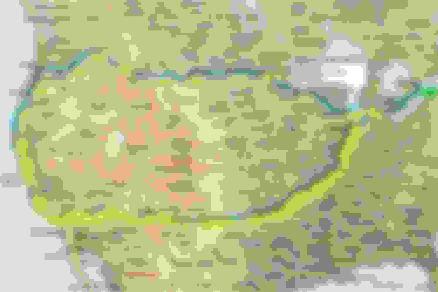
A brief summary before you decide to read on. My brother in law more or less had this idea at the same time I did, which was to drive Route 66 from Chicago to Santa Monica, and then return home by traveling up the Pacific Coast Highway and cutting across the northern states and then down to take the high speed ferry across Lake Michigan to get back home via Sarnia Ontario. You can get an idea of the route from the overview map. All in all, it took 21 days, but we should have taken twice the time to do it properly. Total distance traveled according to the trip odometer was 6662.6 miles (the trip odometer actual wraps every 2000 miles as noticed elsewhere on the forum). So, 3 wraps, plus 662.6. Average fuel economy was 24.5 mpg *(US). The pics attached don’t do justice to the trip at all, and admittedly I’m a lousy photographer, but the pics are what they are. I’ve never taken a trip of this length before, but it’s not going to be the last. Driving the vette was just way to much fun.
If you are not aware, Route 66 (or US 66) was one of the original highways in the U.S. highway system, and was established in 1926. It was officially removed from the highway system in 1985 having been replaced by the Interstate system, but over the years, there were many different alignments and improvements, including 4 lane sections. A lot of it still remains, some portions in better repair than others.Some observations and recommendations if you were going to do this from East to West.
1) Get a copy of the E-Z Route 66 book, and try to make sense of it and follow it as best you can. Check the web for updates to the book each day if you can.
2) Don’t stay overnight in Chicago to start off. Instead, find some town say an hour’s drive out, rent a reasonable place to stay, and head into Chicago around 9:30 to get to the starting point. We did stay in Chicago near the start of the Route, but it was expensive. However, the downtown traffic was pretty tame compared to what I’m used to, and following Rt 66 out of Chicago was pretty painless.
3) Don’t be afraid to stay in the traditional Route 66 motels, but do some diligence to make sure that they have a mostly positive review. All that we stayed in were clean, safe, and perfectly adequate.
4) In general, the further West we went, the poorer the signage for Rt 66. Illinois had great signage, as did Missouri. In Illinois, there were signs for most of the turns, and additional signs to indicate alternate alignments. We followed some of each, but never backtracked.
5) Don’t drive more than 250 miles per day if you really want to experience the route, places, and people. We did more than that, but we can always go back again at a slower pace now that I have some idea of what a long road trip involves. I also didn’t want to leave my wife to deal with everything at home for more than 3 weeks.
6) We hardly saw any traffic on Rt 66. Most of the time, there was no one in sight front or back. I was kind of surprised – I thought we’d see some other travelers doing the route, but they were few and far between. No vettes on the route that I saw either, except when we got into Los Angeles, and one parked in a lot in Carthage MO near the Boots Court Motel.
7) We were able to mostly avoid the I-roads on the way to Santa Monica. Without doing a detailed calculation, I’d estimate that we were forced onto an I-road maybe 15% of the trip.
8) The E-Z book warned that it would take 3+ hours following the route through the city into Santa Monica, and it was pretty accurate in that respect. Seeing the Route 66 End sign was actually quite a thrill. We were lucky in that we got a red light there, and could at least take a pic of the sign.
9) Don’t take garage queens and trailer queens to do this trip. Some paved sections of the route were a bit rough. We avoided the few gravel sections. Further west there were lots of cattle guards, some of which needed to be driven over slowly. I’ve got easily 50 rock chips on the front chin splitter, but I don’t’ care. I can touch up the worst of them, get it repainted, replaced, whatever. I’m not even sure where this happened, but I suspect it was on the PCH where road repairs were ongoing. Cost of doing business.
10) Someone on the forum mentioned that cars had been broken into on the way, but the only incident on the entire trip was in St. Paul where we stayed in a ‘real’ hotel downtown, and some miscreant decided to drop their cigarette ash on the rear deck during the night. No damage was done.
11) Highest outside temperature seen on the cabin display was 108F in the desert. Not a problem for the Dewitts rad – even with the AC on full, the coolant temp was pretty much pegged at 194F, except when caught in traffic. At the worst, when we were hemmed in by mules in Oatman and couldn’t move, the temps swung between 221 and 223, which was more a function of the fan programming rather than the ability of the rad to keep things cool.
On the Route 66 portion, you get a good idea of what happens to small towns that get cut off from the main flow of traffic. Route 66 itself was guilty of doing this as well, as different alignments of the 4 lane version bypassed some towns. Some places are doing quite well, some seem to be near death, and others have simply disappeared. There were lots of abandoned motels, gas stations, businesses, but in other places, the towns were thriving. You do get a good idea of what it might have been like back in the early to mid 50s, as the idea of taking road trips became more popular. You know, “See the USA in your Chevrolet”.
Ironically, the only real rain that we encountered was in Williams AZ. It poured as we were arriving at the railway hotel.The only real incident was that pesky self-tapping screw that I picked up in the RR tire somewhere along the way. Got the low pressure warning at the Boots Court Motel in Carthage MO when went to leave in the morning, but as chance would have it, the president of the Carthage Chamber of Commerce happened to cruise by, saw us trying to find the leak, and offered to find a tire shop that was open. He came back 10 minutes later, directed us to Hunter Tire and Alignment, and they dismounted the tire, patched it from inside, and I was on my way in about an hour start to finish for the grand sum of $18. Great folks all around.
We did go off route for a bit to see the Winslow Crater, and Painted Desert. Also took the train from Williams up to the Grand Canyon, so Williams was a 2 night stay.The trip up the PCH was way better than the trip through Oatman in terms of S turns and switchbacks, but there was also way more traffic on the PCH. On the other hand, a lot of the traffic on the PCH seemed to know what it was doing and moved right along. Trucks were not the problem, but the camper vans were. We were also lucky in that the PCH had just reopened north of Morro bay, so we were able to drive all the way up to Fort Bragg, where we cut over to 101 and up through Grant’s Pass. Lots of smoke in that area from fires, and that smoke continued on into Montana, but much higher up, making the sky hazy. Drove a tiny portion of Historical Route 30 on the way.Got to love the 80mph speed limit on the I-roads in Montana.
Also, I saw at most 2 radar ‘traps’ from Eugene to St. Paul, but most folks were driving at whatever the posted limit was. The only traffic stops I saw were in California.All and all, it was the trip of a lifetime, but my life’s not over, so I’m thinking of driving the Jefferson Highway, which runs from Winnipeg (aka Winterpeg) to New Orleans. As a matter of fact, the Boots Court Motel, where we stayed, is at the intersection of the Jefferson Highway and Route 66 aka the ‘Crossroads of America’. The best way to end a trip is to start planning the next one!
Overview of the trip
The trip starts - had to take this pic on the fly.
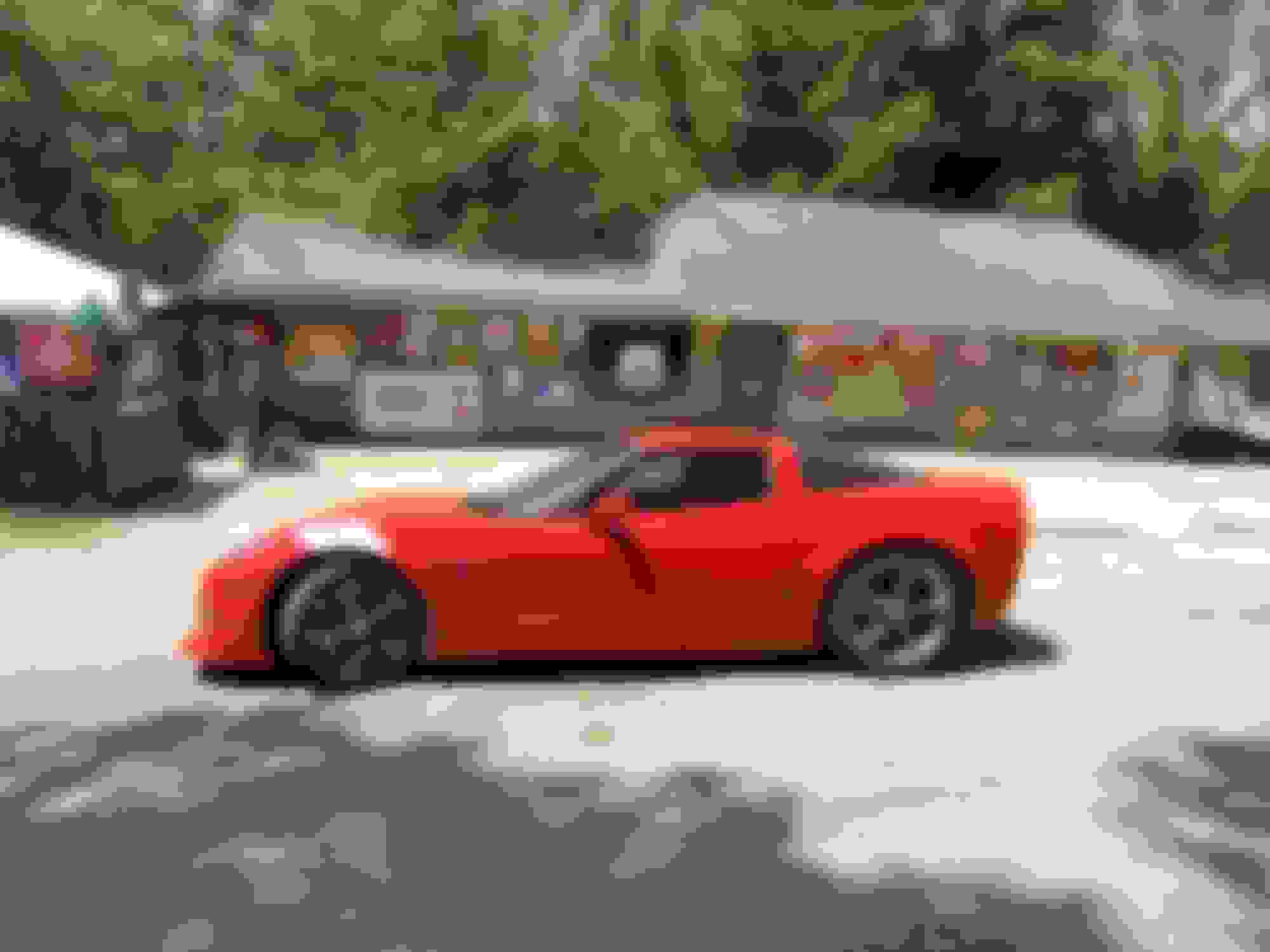
At the model train museum in Pacific MO
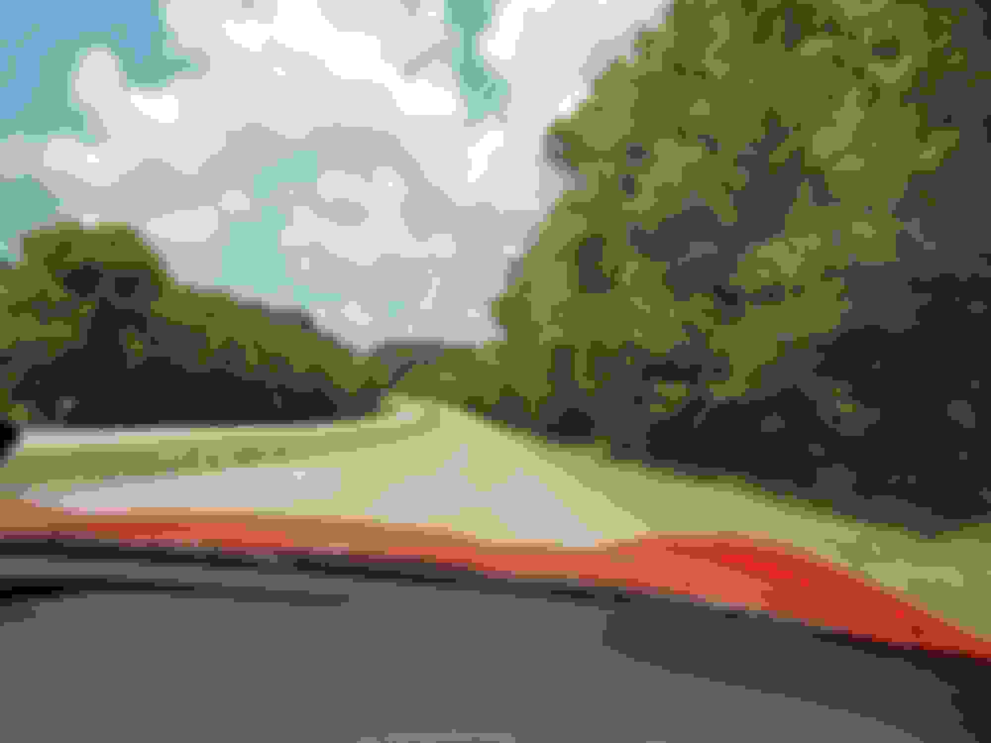
View from the cabin of a typical 4 lane section of Route 66
In front of one of the Route 66 Motels in Missouri
Painted sign on road on KS
On the way to Elk City OK
On the way to Moriarity NM
On the way to Williams
At the Railway Hotel in Williams AZ
In Williams, AZ
Painted sign on the way to Barstow
In the desert, heading to Barstow
At Sitgreaves Pass
Max temp recorded
At motel in Barstow
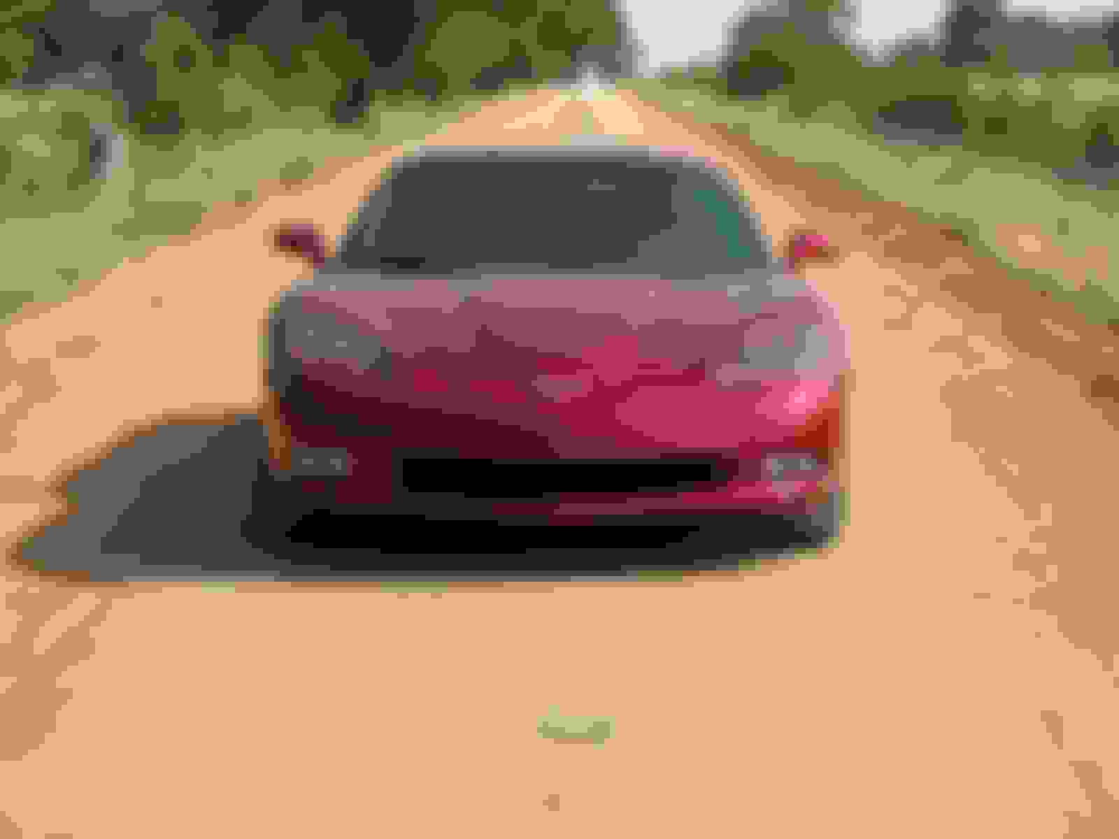
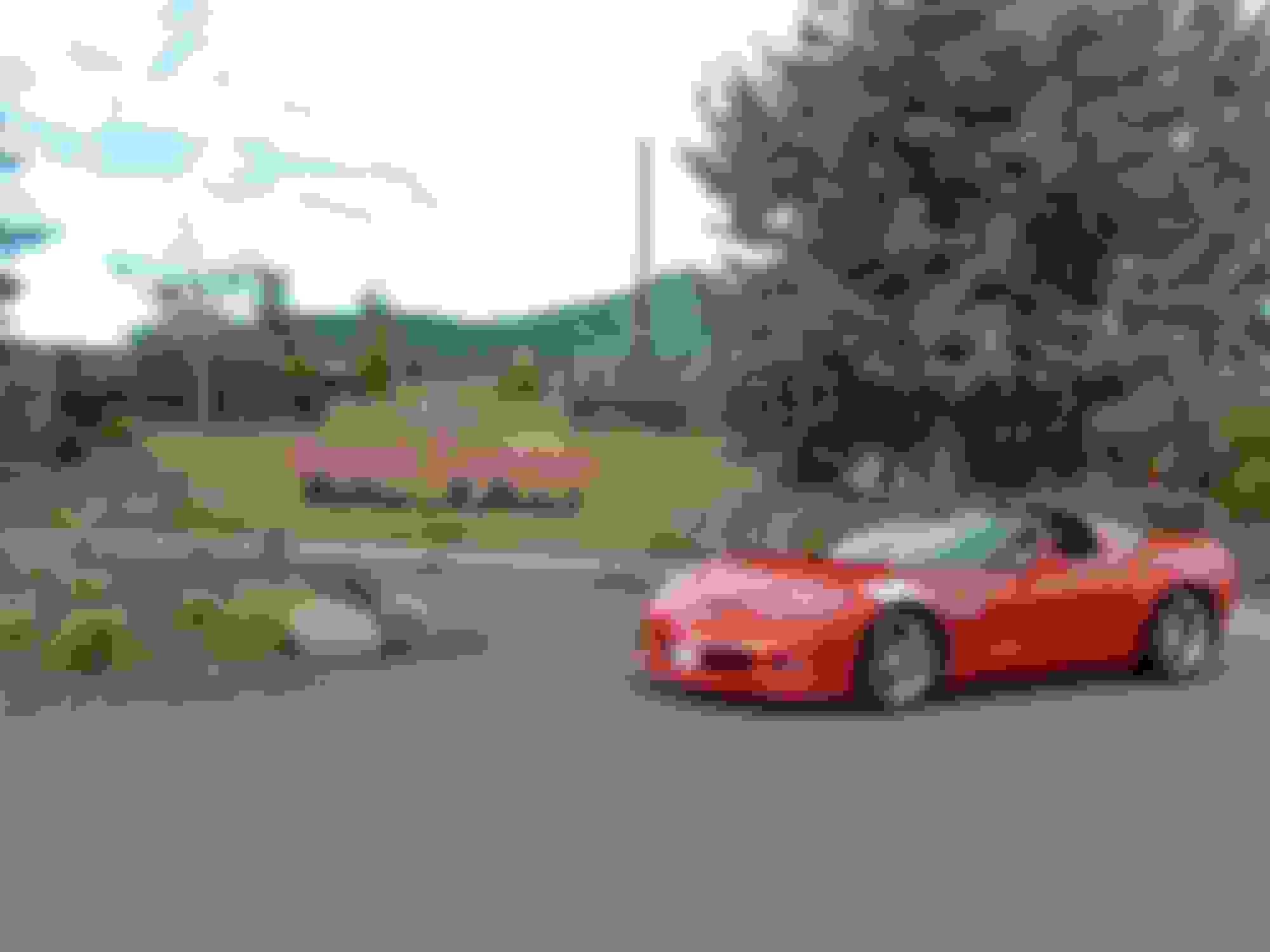
Made it!!
I've got pics of the PCH portion, and northern states run, but I'll just post one more.
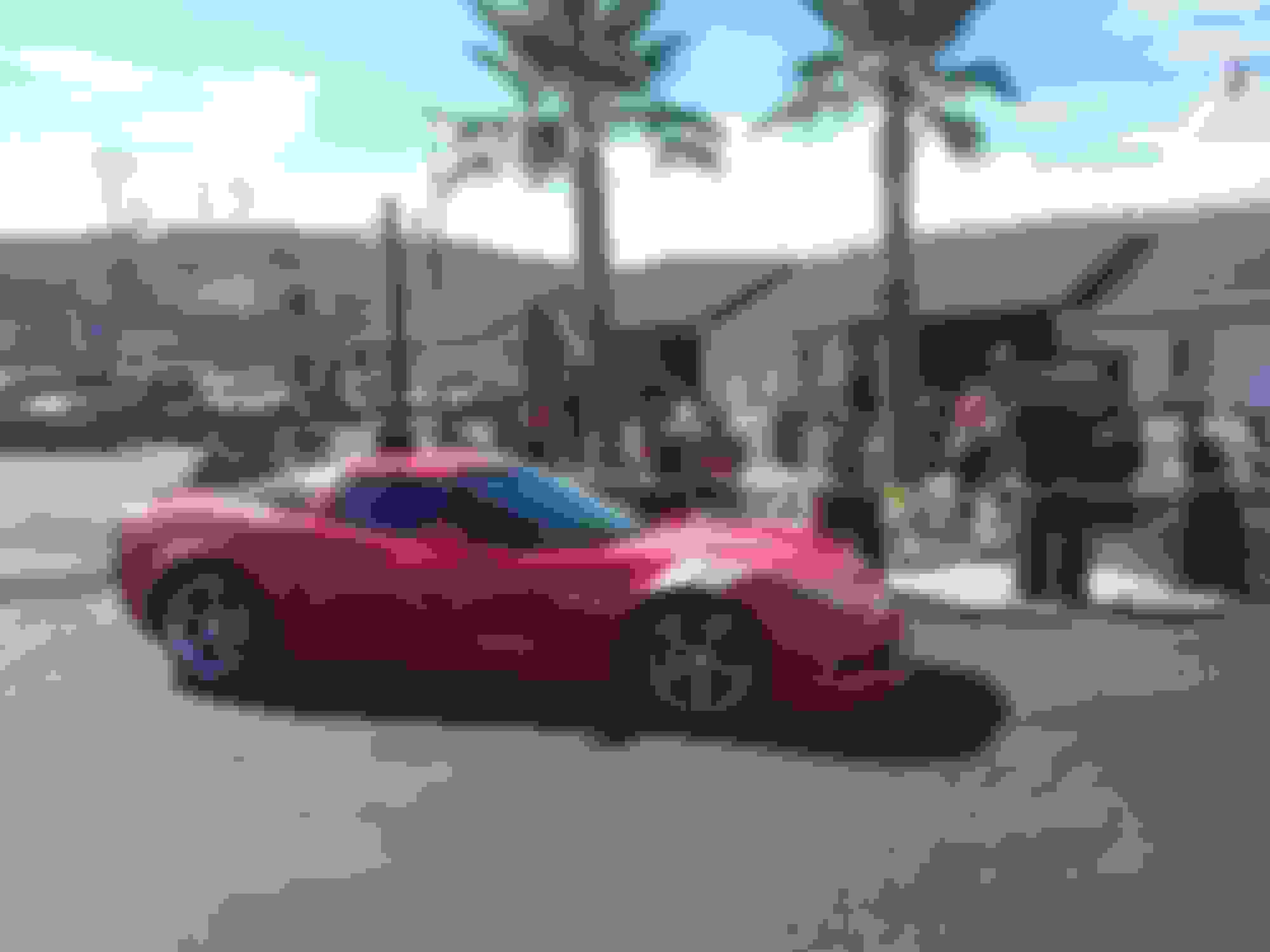
In Morro Bay
Last edited by FatsWaller; 08-01-2018 at 12:46 PM.
I read every word. We have done a good portion of Rte 66 as well and it brought back so many memories. We did ours in our Mustang GT/CS so maybe next time the C6. Thanks for the nice read and photos.
Those are awesome photos thanks for sharing! Love the Morro Bay photo, that is a pretty town and great surf spot! So how often do you stop when you do these road trips? I can never seem to drive more than a couple hours without starting to feel sore. Maybe there is a special technique to it I don't know!
Those are awesome photos thanks for sharing! Love the Morro Bay photo, that is a pretty town and great surf spot! So how often do you stop when you do these road trips? I can never seem to drive more than a couple hours without starting to feel sore. Maybe there is a special technique to it I don't know!
I guess the simplest answer to your question is to stop 'as required', road safety permitting. We were never uncomfortable sitting in the vette, the AC more than managed against the heat if the top was on, and the exhaust, while noticeable, was never loud or annoying, except when the engine lugged a bit down around 1000 rpm. A bit of throttle always cured that problem. I don't keep my wallet in my back pocket, either. Yes, the console got a bit warm, but not that warm, and it wasn't an issue. Other than the fact that we had motel and other reservations, we weren't trying to get anywhere, and were more interested in the many points of interest along the way. It was kind of like a treasure hunt. There was no need to drive even for 2 hours without stopping on the Rt 66 part, because there was always a photo op, or fuel stop (tried to have 1/2 tank or more at all times), or some town where you could and should dismount and stroll around. A 15 minute walk does wonders. The trip across the top was a bit different and we might have driven non-stop for 4 hours at one point, but even my 71 year old body had no problems with the seating, but that's just me. I can well understand that everyone's health and physiology is different.
love hearing about these types of road trips! I did one similar at the end of may ( left SF bay area to Idaho, then east to Toledo, south
to Kentucky, back west through Oklahoma to vegas, up to reno, then back to SF ). just shy of 6k miles in 9 days.
I would agree with your suggestion on timing. my trip was not about sightseeing, basically, just a long "sunday drive".
I had thought about doing rte-66, but did not have the time.
looking forward to doing again soon!
Thanks for sharing! Great pictures too! Going out of the country this year, but already thinking about taking the Vette on a nice trip next year. It looks like a great time!!!
That map looks like a Microsoft Streets and Trips map. Did you use Streets and Trips, and were you able to program it into your Nav system?
I have taken similar trips, and have used Streets and Trips, downloaded to a Garmin GPS, but now that it is no longer supported by Microsoft, I have been using Garmin Basecamp and a Garmin GPS. I would love to be able to download it to my car Nav system, but don't know if it's possible.
I love road trips so much, that I acquired a 1954 road Atlas to help find roads prior to the 1955 Interstate road system we have today. We'd traveled Interstates too often and we wanted to see more than long stretches of concrete. You just can't have too many road trips.
A little bit of US Rt 66 history that's rarely told, is the Oklahoma portion that predated Rt 66. Right after WWI, Congress authorized a road between Chicago and LA. The specifications called for a 18" wide road and that Federal funding would provide for the right-of-way. The States had to provide the road itself. OK only had enough money to pave a 18' wide road halfway across the State, so opted to build one all the way at 9' wide instead. Construction started in 1919 and was completed in 1922. The road was nicknamed the Ribbon Road and/or the Sidewalk Road. Later, Congress authorized Rt 66 and started construction in 1926. Most of 66 covered the Ribbon road, but the 13 mile section between Miami and Afton, which remains today, was used as Rt 66 until a newer alignment had been completed in 1937. If you google "ribbon road oklahoma", this is one result. http://www.405magazine.com/December-...s-Ribbon-Road/
So if you travel Rt 66, drive a couple miles down the Ribbon road South of Miami, to get a feel of what some of Rt 66 was like prior to 1937. BTW, don't forget to stop for a tour at the Coleman Theater in downtown Miami for a treat you'll never forget. https://www.yelp.com/biz/coleman-theater-miami
Car guys/gals will find a small car museum in Afton that's sort of disguised as an old gas station turned into a tourist trap. You need to ask about the cool cars hidden there. No charge to look either.
That map looks like a Microsoft Streets and Trips map. Did you use Streets and Trips, and were you able to program it into your Nav system?
I have taken similar trips, and have used Streets and Trips, downloaded to a Garmin GPS, but now that it is no longer supported by Microsoft, I have been using Garmin Basecamp and a Garmin GPS. I would love to be able to download it to my car Nav system, but don't know if it's possible.
I've got a copy of MS MapPoint - similar I guess to Streets and Trips. In order to force the route onto Route 66 alignments, I had to add over 300 way points. It was a real PITA, especially if you inserted something near the start of the route. MapPoint does export a .gpx file which can be used to load into a Garmin, but not directly. There are instructions on the web on how to convert it and load it. First, though, you need to edit out the bogus time stamps inserted into the gpx file, a known and never addressed bug in MapPoint. The goat-rope doesn't stop there, either. On the Garmin, you must be sure to unselect U-turns and dirt roads in the route preferences before loading in the file. And then, you will discover that Garmin doesn't like to have more than 29 way points in a route, so it's going to split your route into as many smaller routes as necessary. Once again, a real PITA. En route, we then discovered that some of the way points were on the 'wrong' side of the road, so its tiny brain kept insisting that we double back to pick up a flag in cases where the way point was on the other side of a boulevard, which couldn't be crossed. Fortunately, you can stop the navigation, and select the next way point, but that's a complicated procedure. Garmin - great for finding your destination, or the closest beer store, but not so much for large custom trips. If you've got the stock GM nav system, be thankful that it works at all. There's no way to load anything into, other than a Nav DVD.
BTW, loved St. Louis. Stayed 2 nights, and the Arch was spectacular.
Last edited by FatsWaller; 08-02-2018 at 05:18 PM.

 07-31-2018, 11:08 PM


 A trip to remember, great pictures, nice story.